F4map
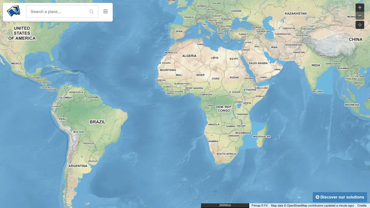
OpenStreetMap rendered as a 3D city with buildings, trees and moving shadows. Fly anywhere in the world.
- Maps & Earth
- Free
- demo.f4map.com
- Category
- Maps & Earth
- Price
- Free
- Address
- demo.f4map.com
- Added
- Tags
OpenStreetMap rendered as a 3D city with buildings, trees and moving shadows. Fly anywhere in the world.
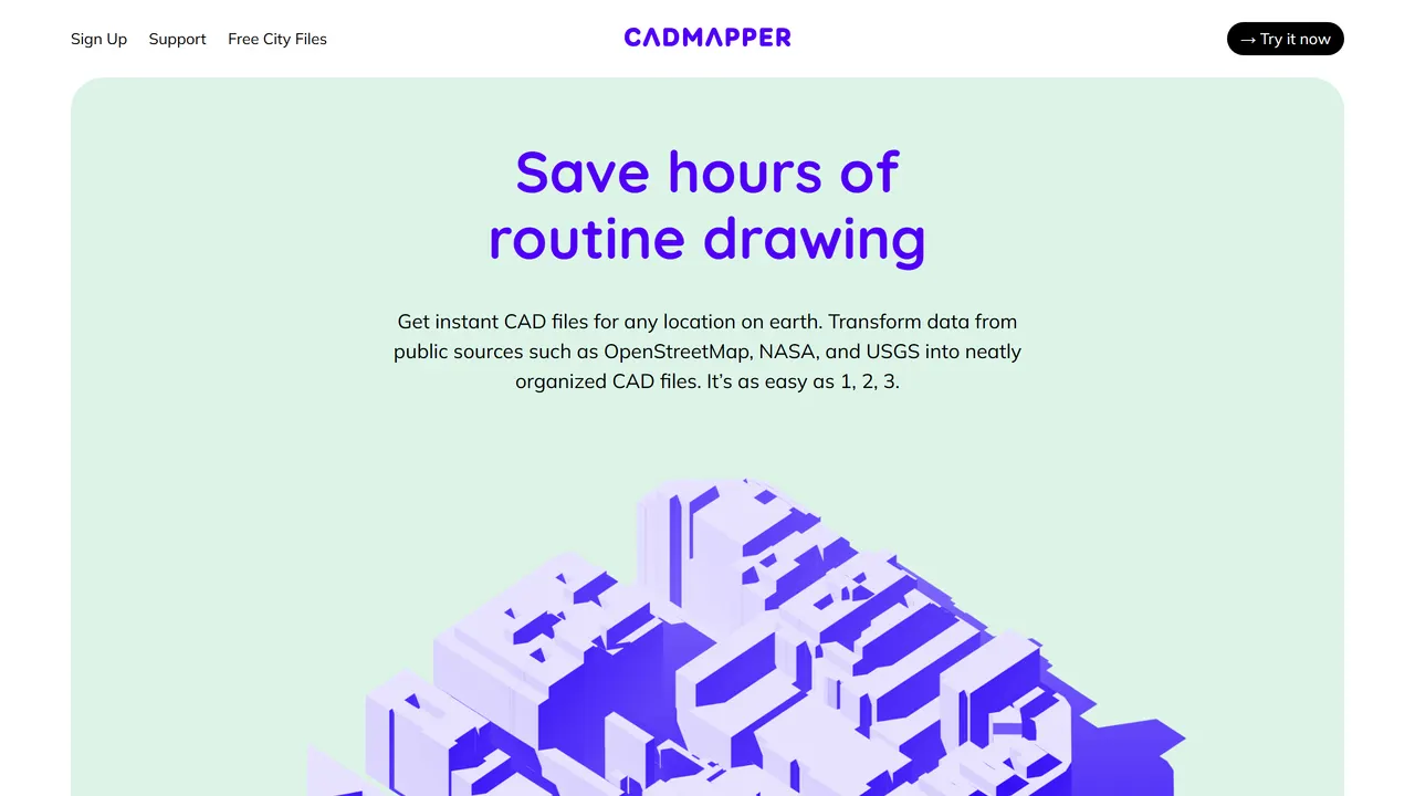
Select any area in the world and download its buildings, roads and terrain as CAD files for architecture models.
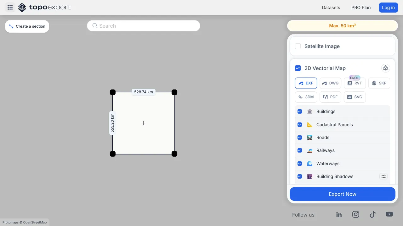
Draw a box on the map and download that terrain as a 3D model or contour lines, ready for 3D printing or CAD.
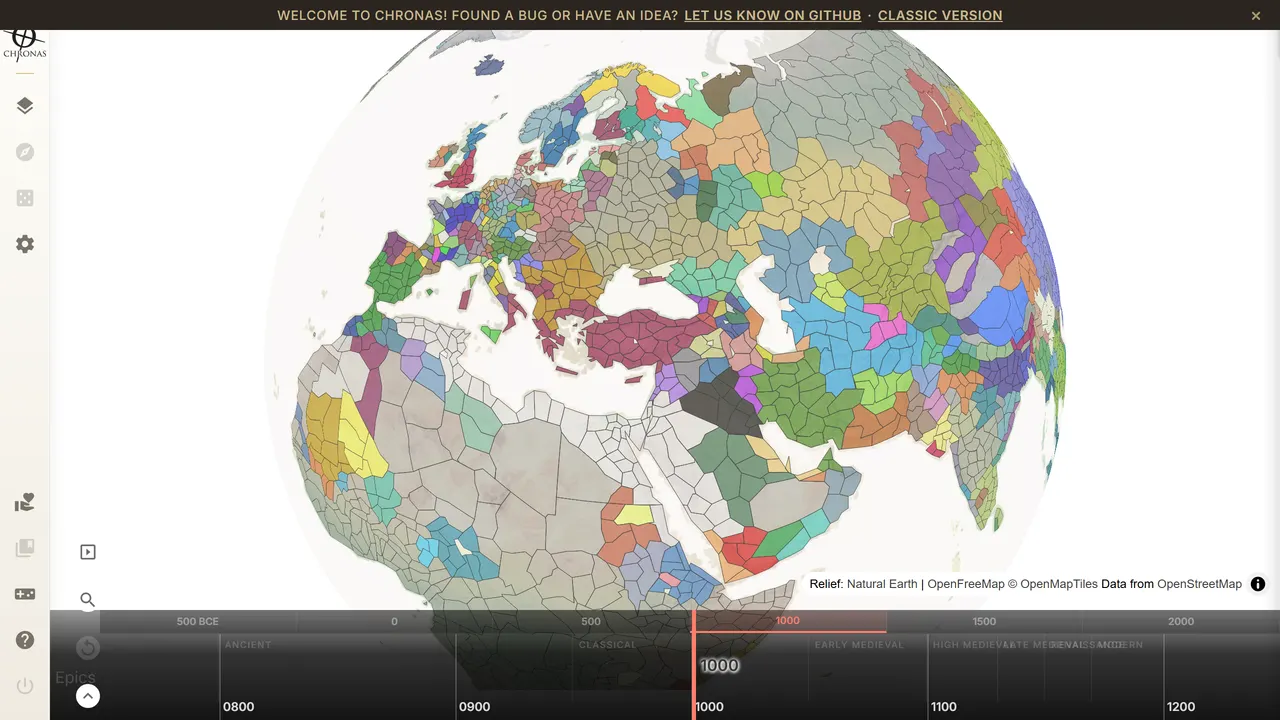
Drag a slider through 5,000 years of history and watch empires grow and collapse on the map, with linked articles for every era.
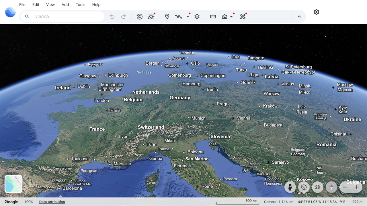
The whole planet in 3D in a browser tab. Fly through cities, take the guided Voyager stories or measure anything.
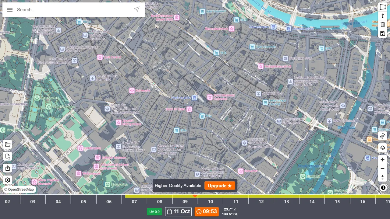
Every mountain, building and tree shadow on earth, simulated for any date and time. Find the sunny café terrace or the shady campsite.
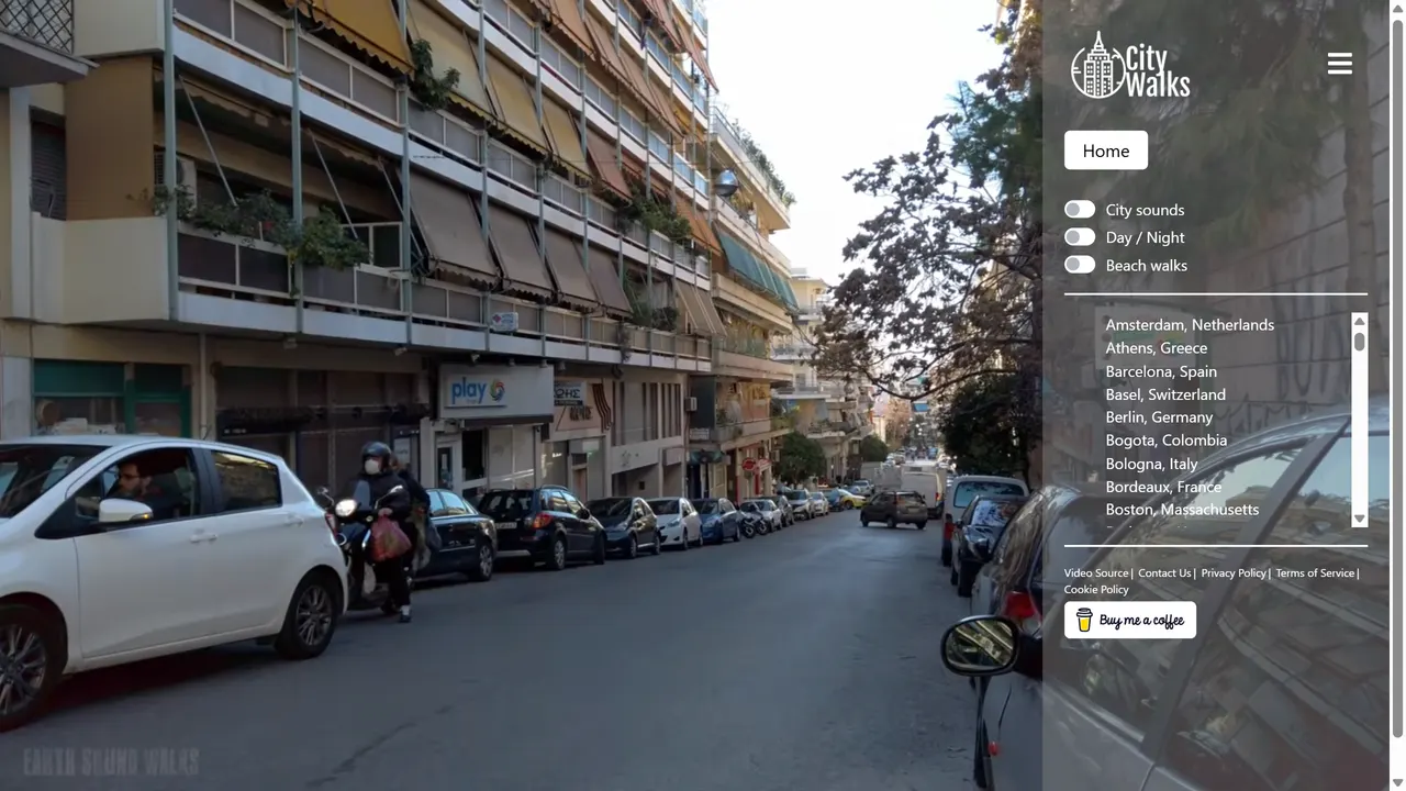
Long walking videos through cities, beaches and night streets, with the street sound left in. Pick a city and wander.